Why This Specific Cycle Is Unusually Powerful
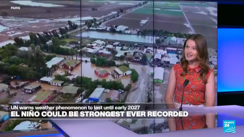
The World Meteorological Organization has issued a stark warning regarding global weather patterns. Its director general stated that the current El Nino phenomenon may become the most intense recorded in forty years. This assessment is based on recent satellite data and ocean temperature readings. The organization monitors these cycles closely to predict their impact on climate systems worldwide.
Breaking news
 Deadly Glacier and Rock Collapse in Nepal Linked to Climate Warming
 US Congress Passes Sweeping Sanctions Against Russia
 Speaker Johnson Ends House Session Early to Halt Impeachment Effort
 The High-Stakes Fight for Senate Majority Control
El Nino events typically disrupt normal weather patterns across the Pacific Ocean. They often lead to extreme heat, drought, or heavy rainfall in various regions. The WMO chief emphasized that the strength of this specific cycle is unprecedented in modern records. Scientists are tracking sea surface temperatures which have risen significantly above average levels. These conditions suggest a powerful shift in atmospheric circulation is underway.
The intensity of the current El Nino stems from several converging factors. Ocean currents in the equatorial Pacific have warmed faster than projected models anticipated. This rapid heating accelerates the feedback loop between the ocean and atmosphere. Consequently, the jet stream may weaken or shift its position dramatically. Such changes can trap high-pressure systems over land areas for extended periods. This leads to prolonged heatwaves and increased wildfire risks in many continents.
How Will This Affect Global Agriculture and Water Supply?
Meteorologists note that the timing of this event coincides with peak summer months in the Northern Hemisphere. This alignment amplifies the thermal effects on populated regions. The WMO reports that global mean temperatures are likely to break previous records during this period. The combination of greenhouse gas emissions and natural variability creates a dangerous synergy. Experts warn that this is not just a seasonal anomaly but a potential new baseline for extreme weather frequency.
Agricultural sectors face immediate challenges due to altered precipitation patterns. Regions relying on monsoon rains may experience delayed or reduced rainfall totals. This threatens crop yields for staple foods like rice and wheat. Water reservoirs in arid zones could deplete faster than usual due to higher evaporation rates. Farmers in South America and Southeast Asia are already adjusting planting schedules. Insurance companies are reviewing risk models to account for the heightened volatility.
Frequently Asked Questions
The economic ripple effects extend beyond farming into energy production. Hydroelectric plants may see lower water levels, affecting power generation capacity. Meanwhile, cooling demands for electricity will surge as temperatures climb. This dual pressure strains infrastructure and increases costs for consumers. Governments are urged to prepare emergency response plans for potential supply shortages.
How long will this El Nino last? Current forecasts indicate the peak intensity will occur within the next few months. The event is expected to persist through the winter season before weakening. Historical data suggests such strong cycles can influence weather for up to eighteen months.
Which regions are most at risk? Tropical and subtropical zones face the highest probability of extreme weather events. North America, South America, and parts of Africa are particularly vulnerable to temperature spikes. Coastal areas should also brace for increased storm activity and higher sea levels.